Whalley Bridge River Calder
Client: EA and The Whalley & Billington Flood Action GroupScale: 1:30
Description of scheme
The village of Whalley lies on the northern bank of the River Calder in the borough of Ribble Valley, Lancashire. The village has experienced flooding from the river in the past, most recently on 26th December 2015 when 194 properties were flooded the river during Storm Eva, causing widespread disruption to homes and businesses in the village.
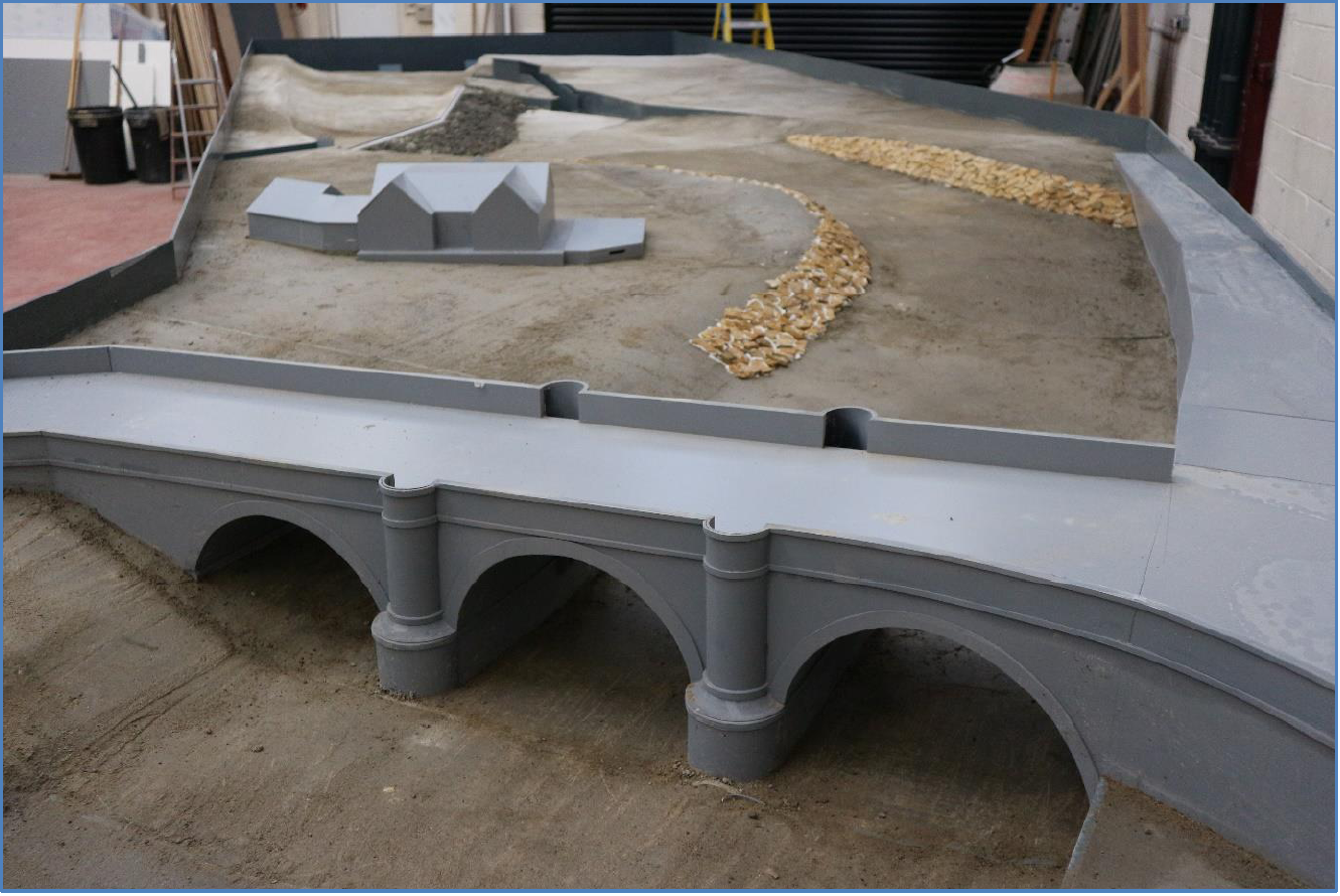
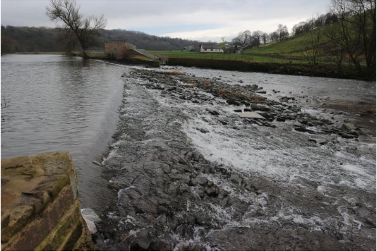
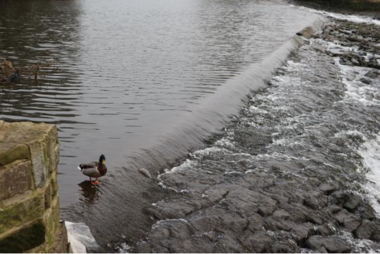
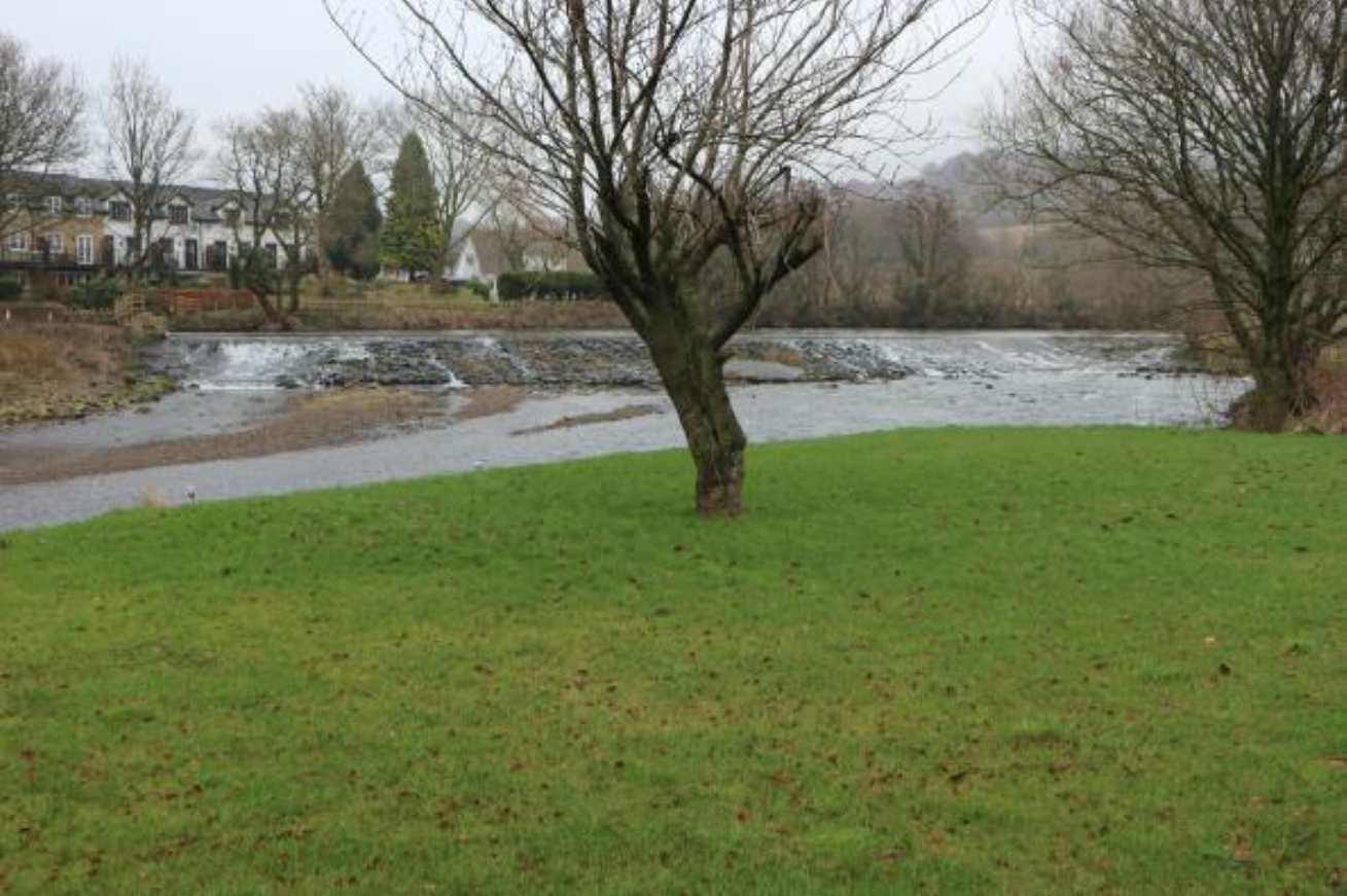
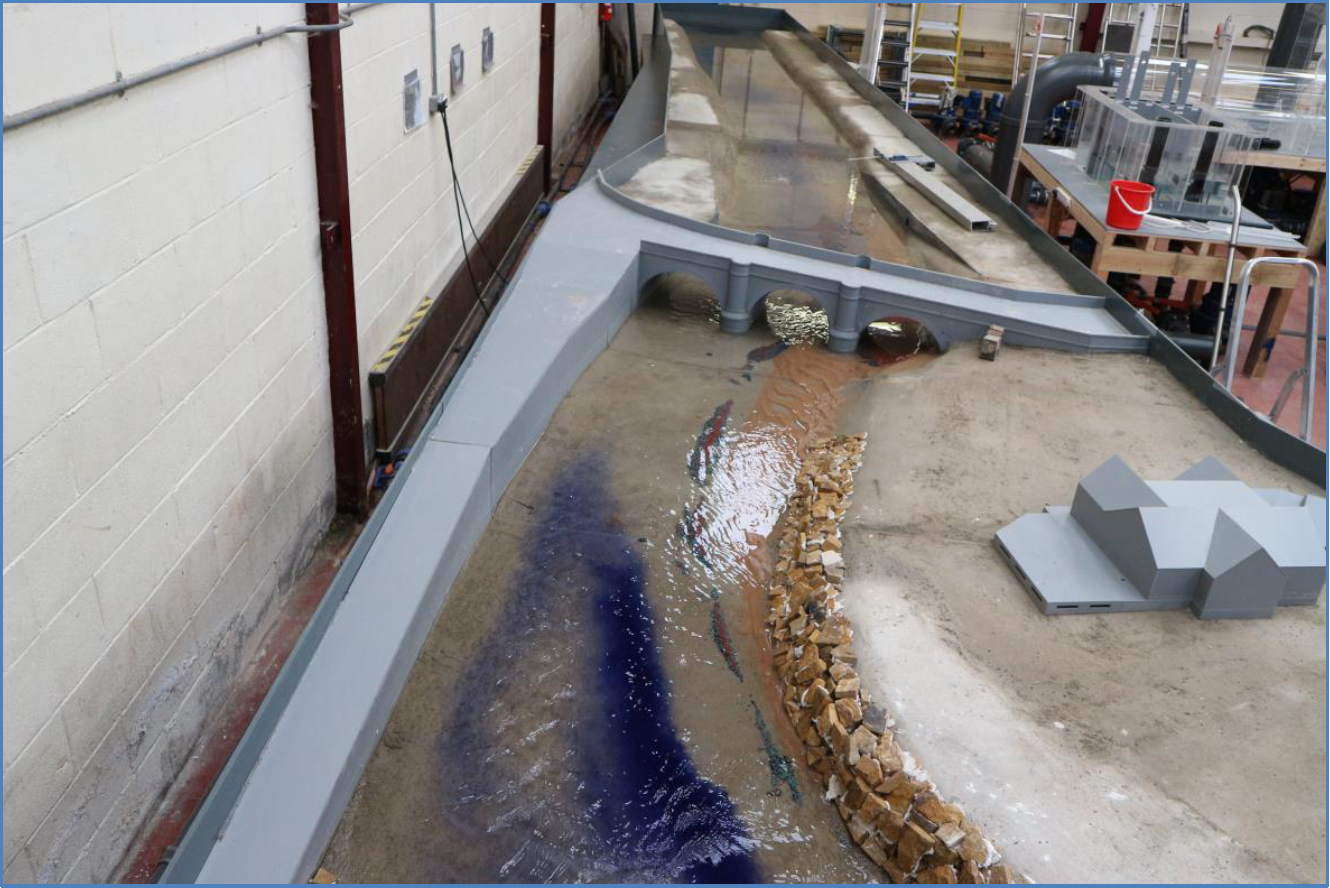
At the southern end of the village, Whalley Bridge carries Whalley Road over the River Calder. The bridge is a three-arch design and sits just downstream of a right-hand bend in the watercourse. Upstream of the bridge lies a weir which sits at 45 degrees to the approaching flow, and which houses a hydroelectric power unit on its left bank that is owned and run by a community company.
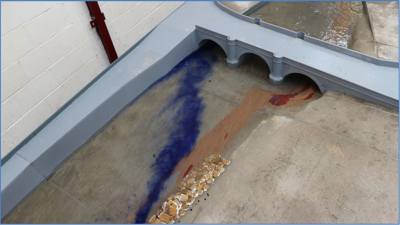
Over a period of many years, there has been an issue regarding siltation within, upstream, and downstream of the right-hand bridge span (looking downstream). Previous hydraulic modelling work has been carried out at the site, which demonstrated that siltation under the bridge appears to increase flood risk to property in Whalley.
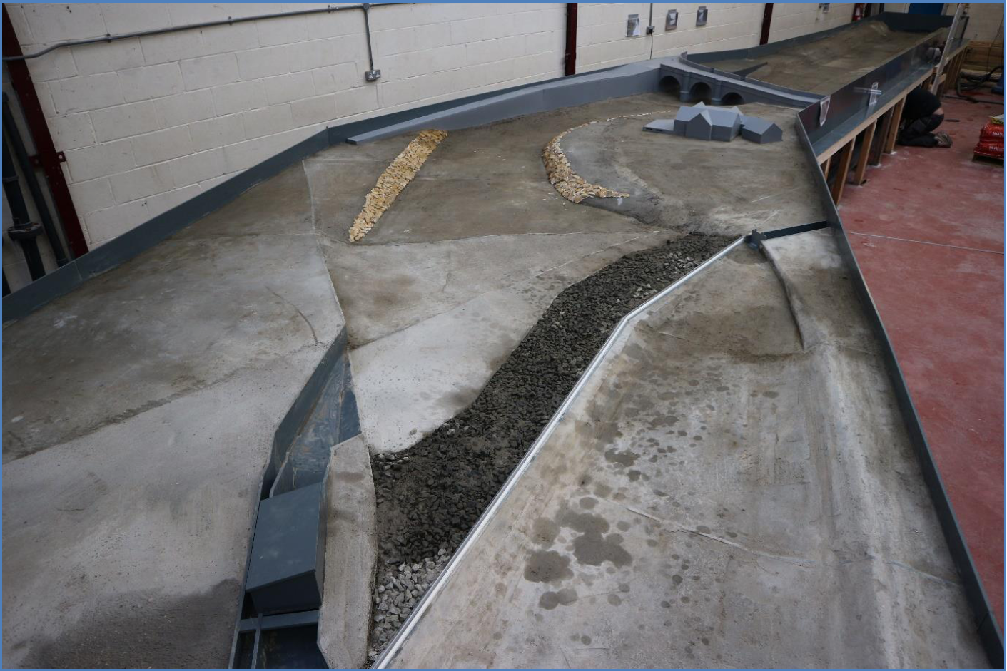
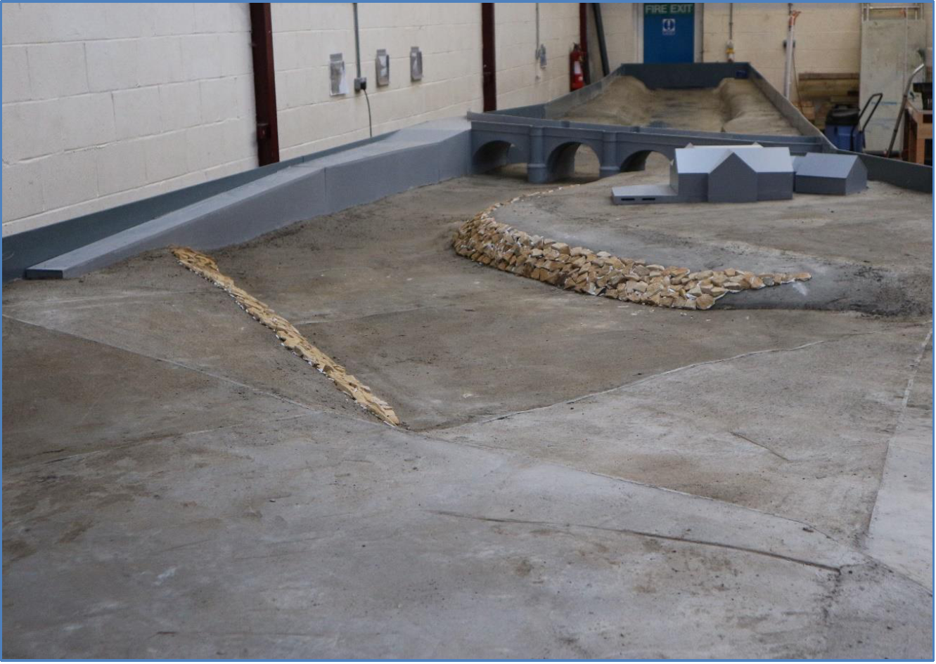
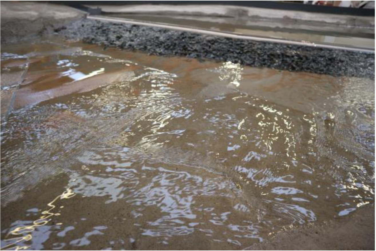
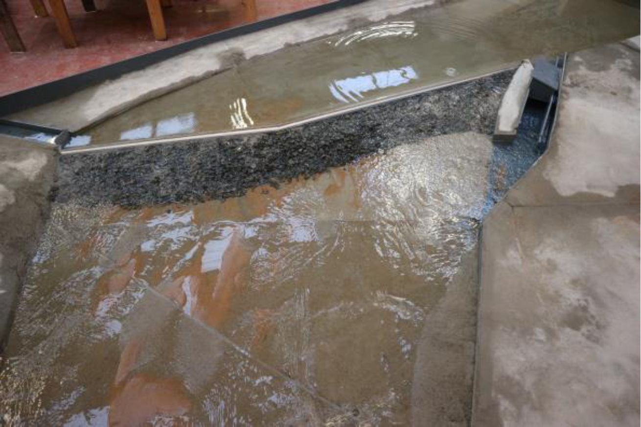
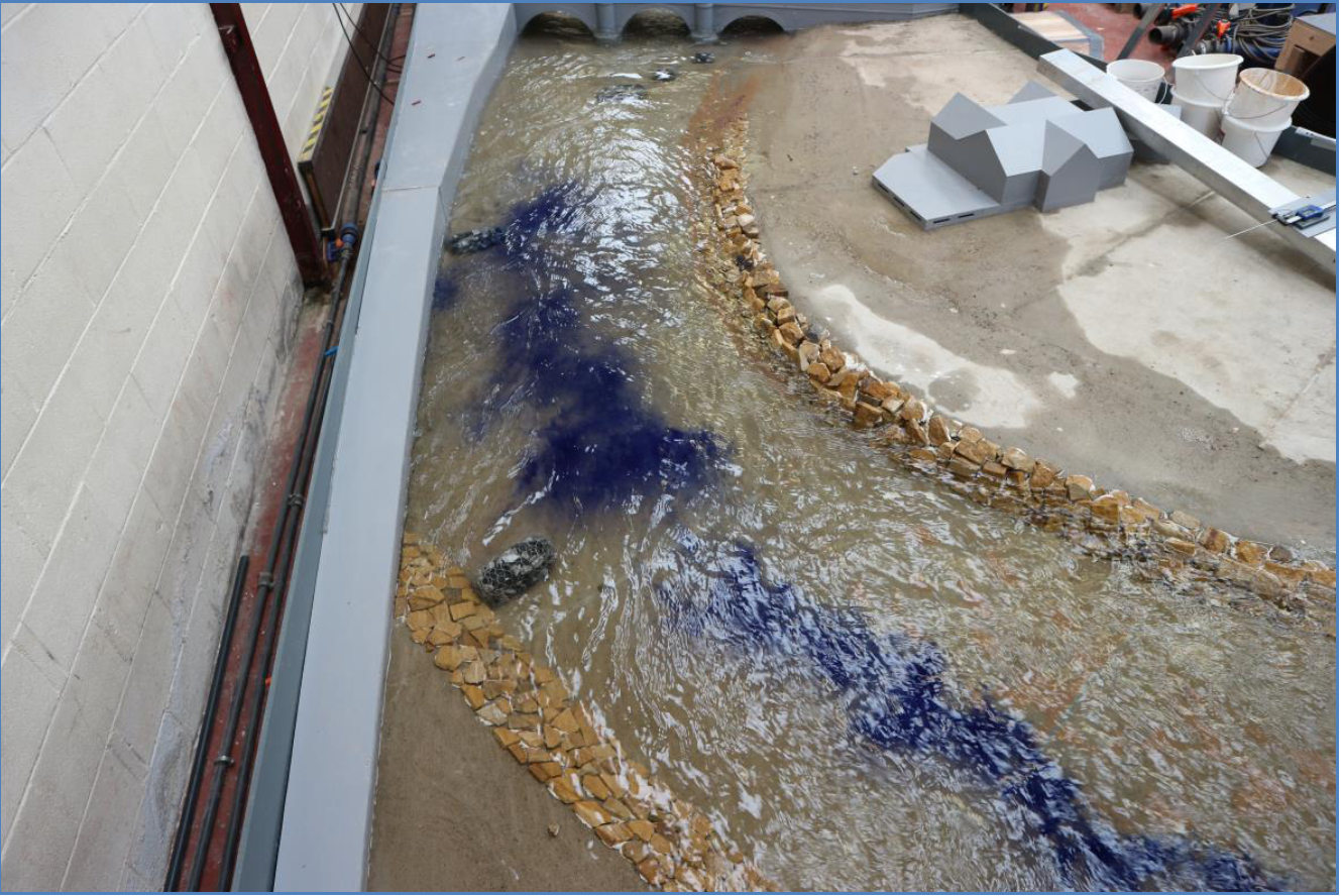
Hydrotec Consultants were instructed by the EA and the Whalley & Billington Flood Action Group to construct a 1/30th scale model of a section of the river Calder. The model was constructed with pertinent structures i.e., the weir, bridge structure and all other salient features. The purpose of the modelling exercise was to determine the most effective river training techniques to minimise deposits accumulating and maintain the highest practical flow capacity through Whalley Bridge.
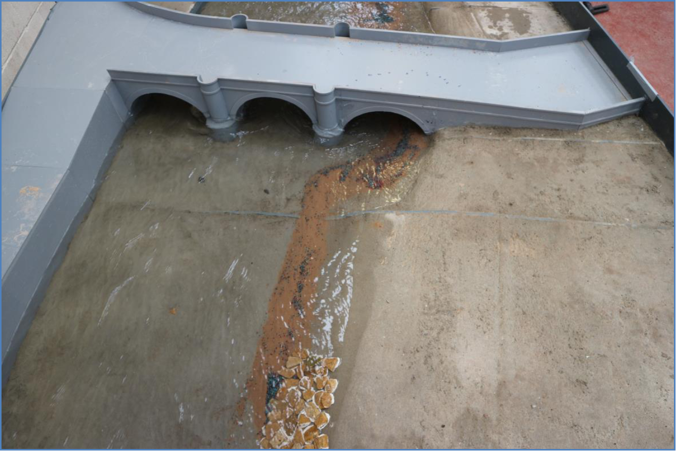
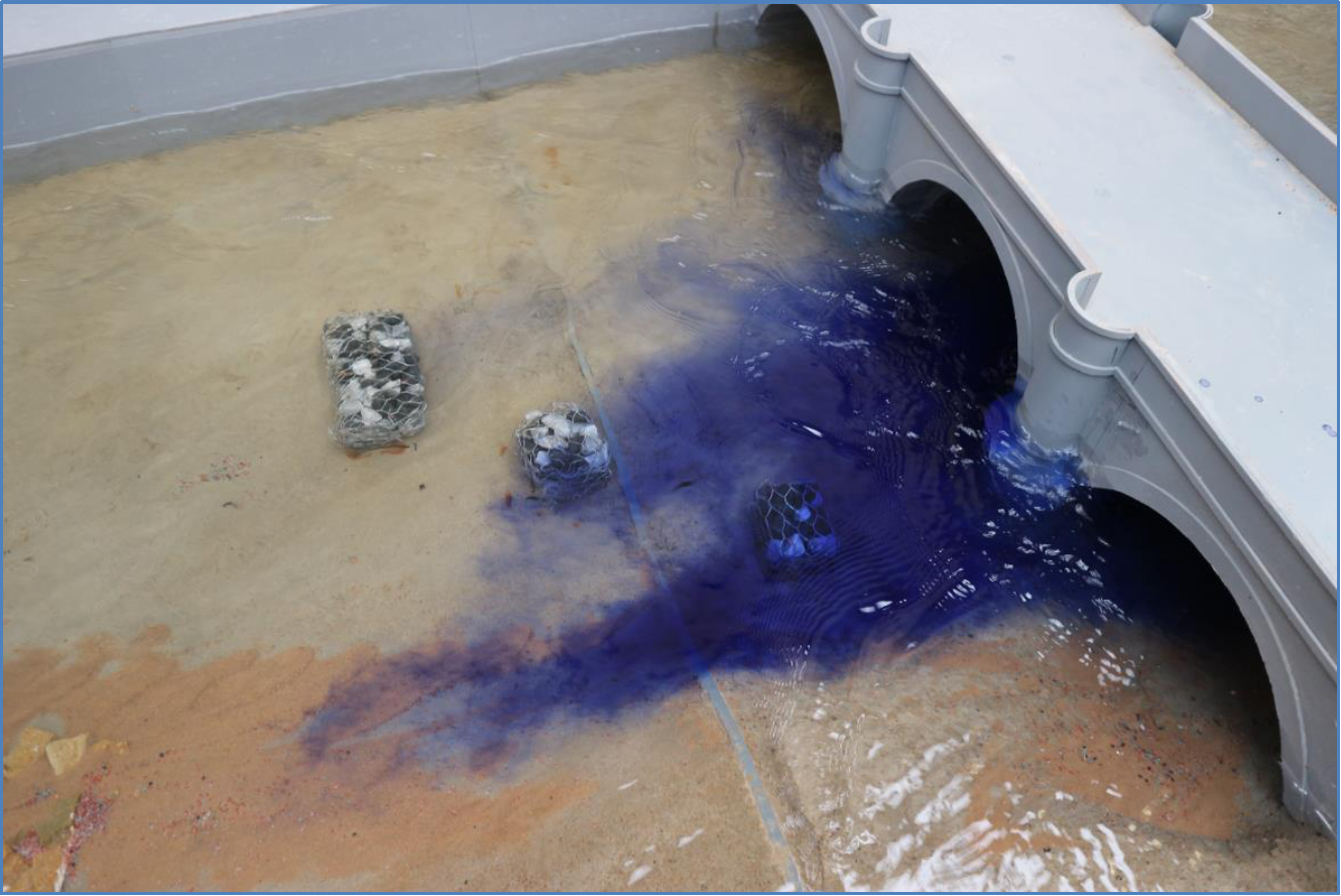
The initial appraisal and calibration exercise on the 1/30th scale hydraulic model of the Whalley River confirmed that the model was fully representative of the full scale conditions. The weir and general flow patterns were comparable to recorded site imagery. Furthermore, the evaluation of sediment transport concluded that significant build-up of debris occurred local to the third arch of the bridge.
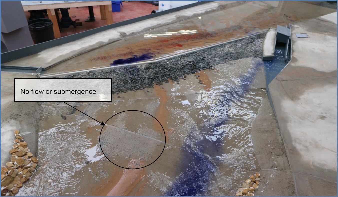
Quantitative data abstraction from the physical model concluded that the third arch experienced minimal transfer flow, regardless of accumulated sediment. It was therefore concluded that development options should be proposed to improve flow utilisation of the bridge, and to promote the clearance of sediment local to the third arch.
Development
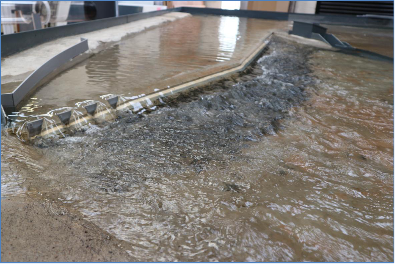
Weir discharge improvement:- The initial assessment determined that the weir produced an uneven discharge flow with high velocity zone tracking the left hand bank. The oblique discharge flow produced via the weir, created an area of deposition centrally downstream of the spill weir, together with poor utilisation of the three arches of the bridge.
Local castellations to the left, and right hand banks, of the weir were suggested. The castellations produced a more efficient weir discharge with a marginal reduction in upstream water elevation. The primary benefit was considered to be the production of a more uniform discharge of flow on the weir produced at low to mid-range river flows, with the previously observed area of deposition significantly reducing in size. Furthermore, re-direction of the high velocity jet tracking the left hand bank, was advantageous in improving flow utilisation of the bridge structure.
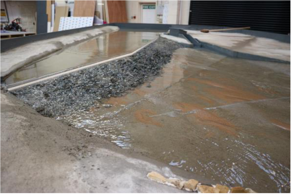
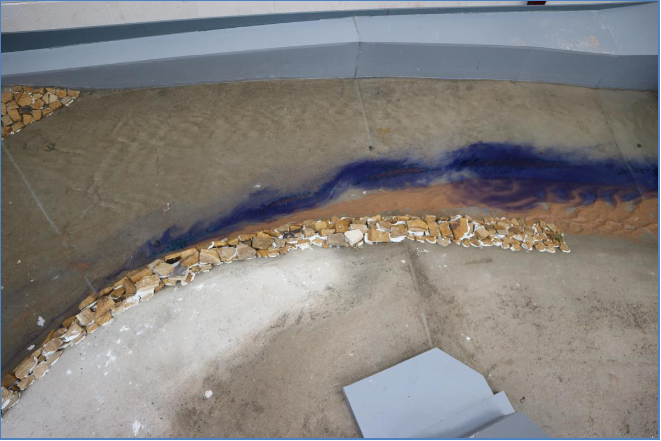
Flow training blocks or trippers:- Flow passing around the bend downstream of the weir was subject to nonuniformity with a higher proportion tracking the left hand bank. Flow training measures were proposed through the bend to improve utilisation of the third arch.
Conclusion
The testing programme determined that the addition of the flow training measures resulted in an improved division of flow between the three arches with no evidence of sediment build-up occurring within the third arch throughout the inflow range.
Data abstracted from the physical model concluded that little appreciable impact was evident in respect to the water elevations between the bridge and the weir, irrespective of the increase in utilisation of the third arch. It was considered that the proposed flow training measures produced an obstruction within the flow, hence negating any reduction in water level that may have occurred.
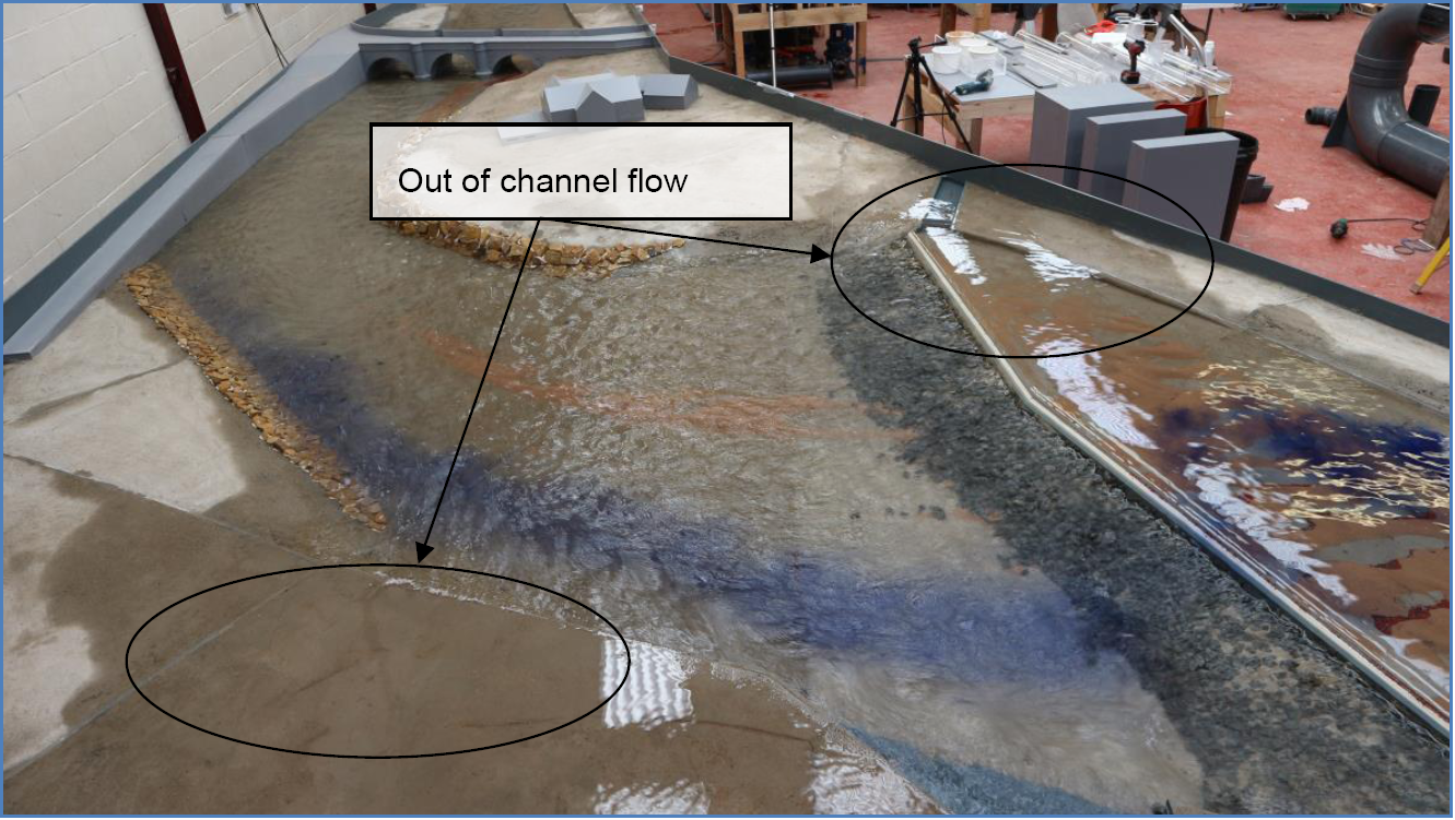
Unfortunately, despite testing various ways to improve flow through the bridge and keep the arch clear, the testing programme was unable to identify a solution which would keep the arch clear of silt/gravel, while also significantly reducing water levels upstream of the bridge and weir (and hence benefiting flood risk). Throughout the testing programme evidence of out of bank flow was witnessed under inflow rates of approximately 90 m3/s and above local to the Mill Race culvert. Localised walling was therefore proposed at this location to ensure that flow remained in river at the specified inflow scenarios.


