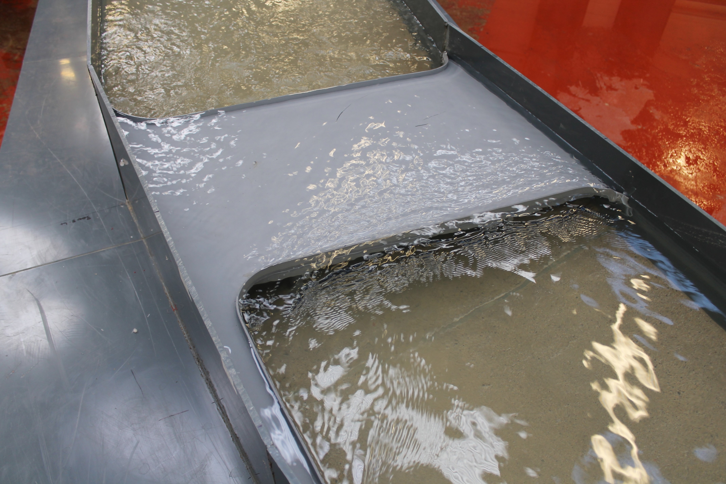
Lower Lee Flood Alleviation Scheme
Client: JBAScale: 1/40th
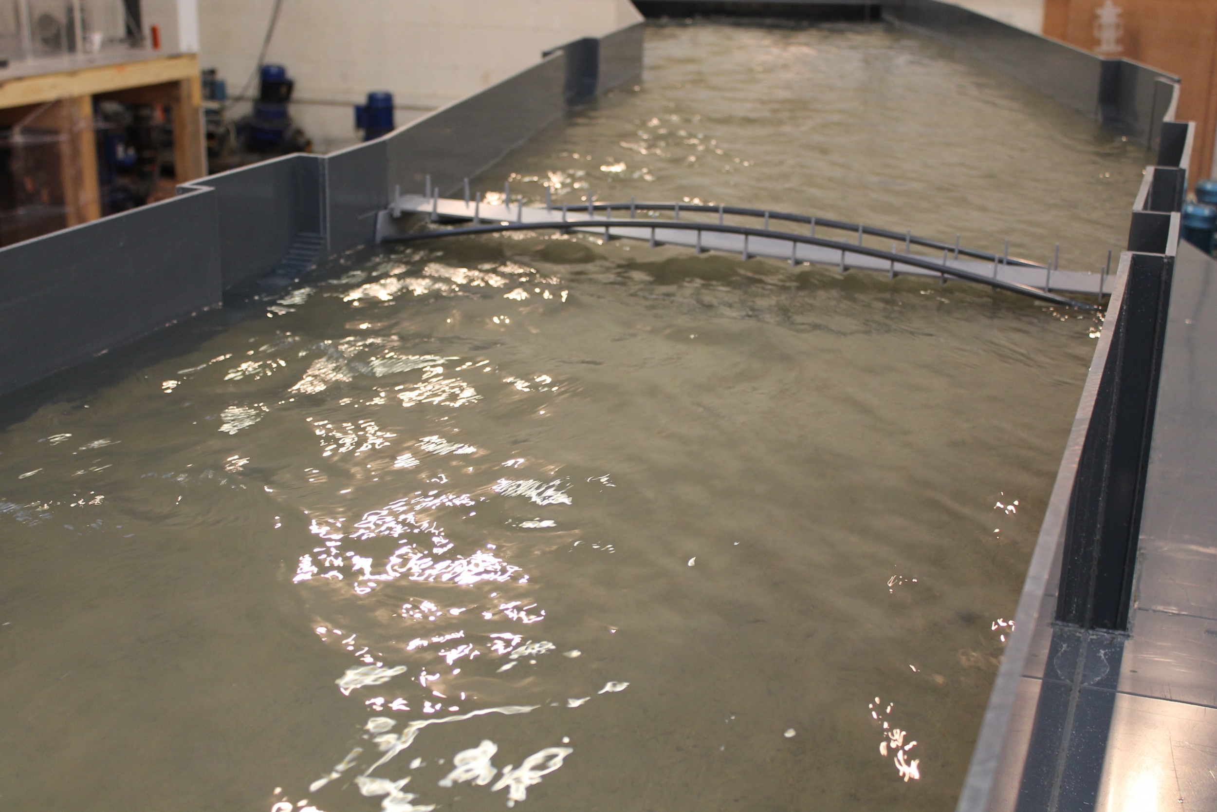
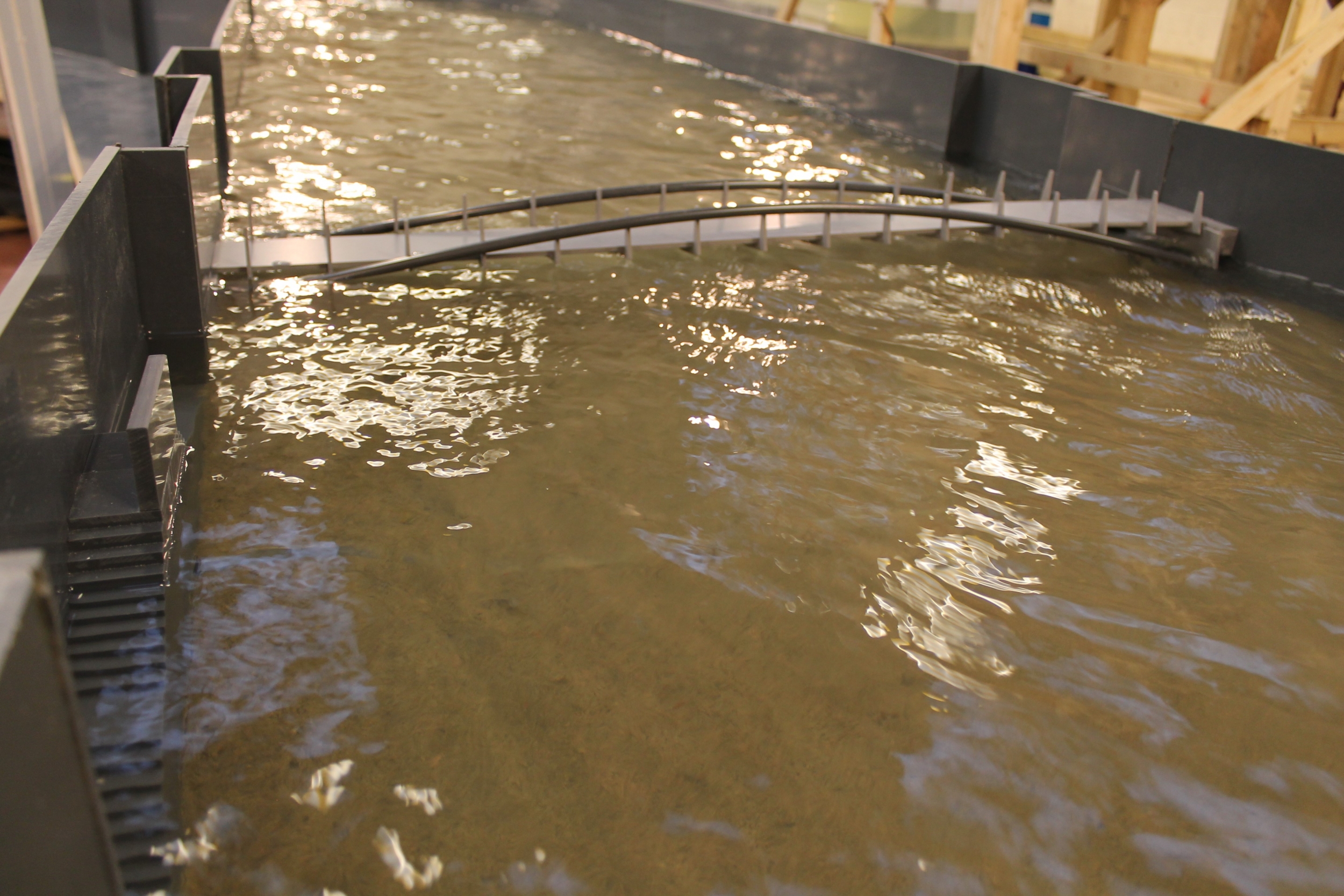
As part of the Lower Lee Flood Alleviation Scheme a physical model study was undertaken of a 700 m reach of the Lower Lee River. The model was constructed at 1/40th scale and operated on the basis of Froude Law similarity. The model included a reach of the river including Vincent’s Bridge, Griffith Road Bridge and the Shandon Bridge.
Initial hydraulic assessment
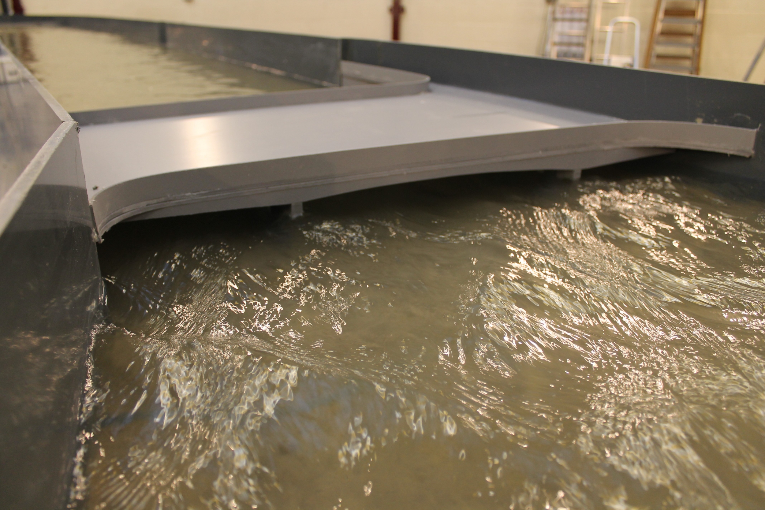
To summarise the initial assessment of the Lower Lee river model, it was determined that regardless of inflow rate or stipulated water level downstream, the Griffith Road Bridge was the primary influence on the hydraulic grade line throughout the modelled reach of river.
While the other two Bridges and flow migration exhibited mild departure from the ideal, their influence was minimal. Flow on approach to Vincent’s Bridge, regardless of inflow scenario, experienced flow separation at the directional change, subsequently a large proportion of flow was re-directed centrally and to the opposing side of the river i.e., left hand bank, this however, was not considered to adversely affect the migration of flow downstream.
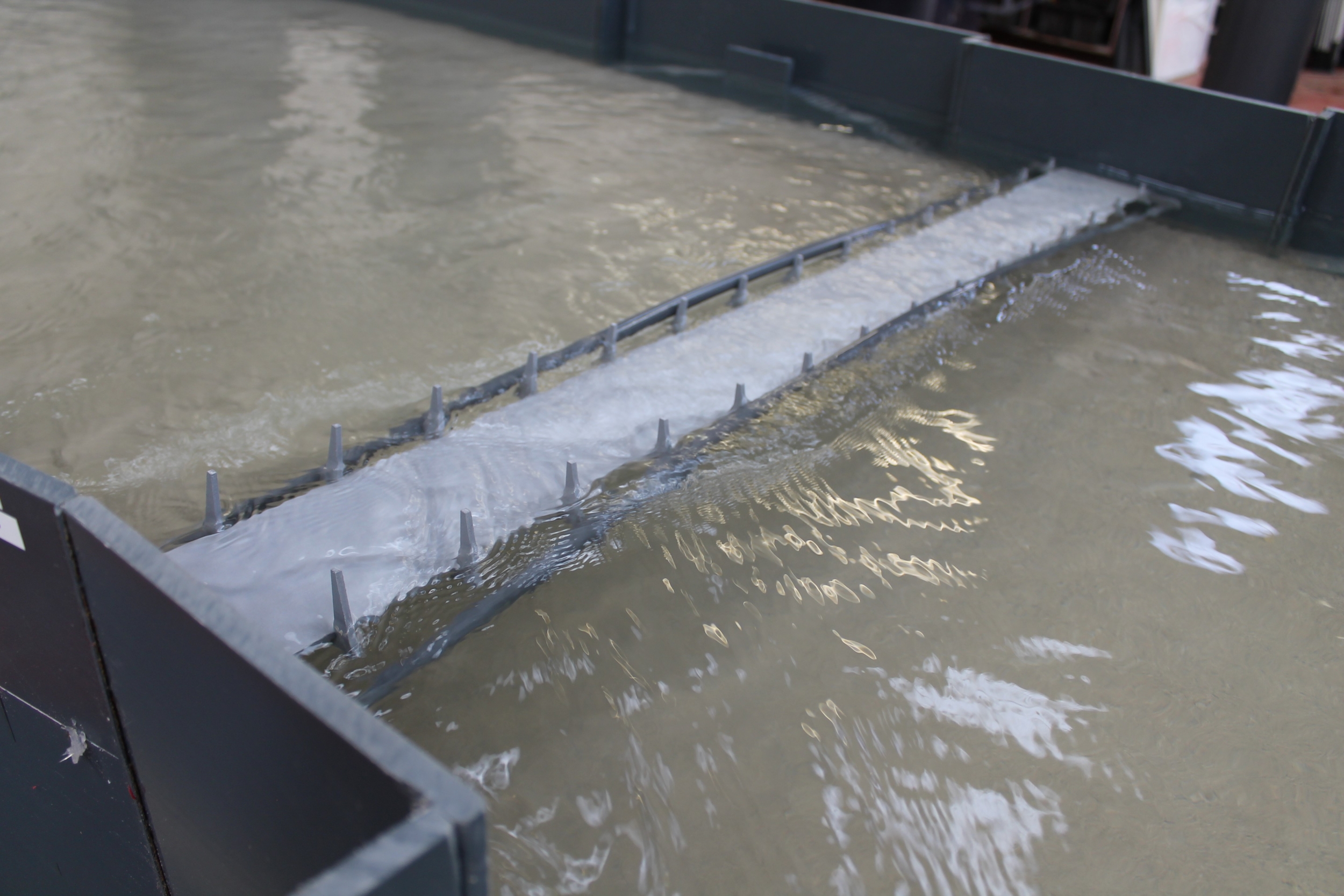
It was further considered that in regards to Shandon Bridge the influence on water level through the structure was a function of the discharge characteristics from the Griffith Road Bridge. Premature flow interference and submersion was observed local to the right hand bank compared to the left hand bank of the structure, this was attributed to the gradient fall of the Bridge. However, it was considered that the bridge had minimal influence on water levels with the Bridge not adversely affecting the migration of flow downstream.
We would therefore, conclude that the Griffith Road Bridge is the main hydraulic influence on the migration of flow through the modelled reach of river.
Supplementary and comparison testing
As part of the testing programme a comparison exercise was undertaken with the omission of the individual bridge structures, the two bridges identified for removal were the Shandon Bridge and the Griffith Road Bridge. In addition, after consultation with the Client, the model was required to abstract average velocities at the upstream face of the Griffith Road Bridge whilst operating under the high inflow rate of 650 m3/s with a set downstream water level of 3.4m; these are detailed within Section 3.3 within this report.
In summary, little appreciable difference was evident within the hydraulic grade line throughout the reach of river with or without the inclusion of the Shandon Bridge. It was therefore, concluded that the upstream and downstream bridges were not significantly effecting the transport of flow through the modelled reach of river and no subsequent alteration to these structures would be considered necessary.
As part of the testing programme it was considered relevant to remove the Griffith Road Bridge and undertake a similar comparison exercise. Under the stipulated test scenario, a downstream water elevation was set to 3.4m with an inflow rate of 650 m3/s. Testing determined that comparable upstream water elevations occurred from the Griffith Road Bridge; however, with the omission of the structure, significantly improved flow transition occurred from points 7 onwards.
A mild increase in river level occurred upstream of Shandon Bridge under the aforementioned test scenario, this however, was attributed to the bridge structure becoming fully surcharged. Flow was marginally restricted due to the obstruction with a subsequent drawdown evident downstream of the bridge. Flow recovered a relatively short distance downstream with improved transport towards the downstream outlet boundary on the physical model.
Two severe climate change scenarios were to be investigated as part of the testing programme, under both scenarios all bridge structures were to be installed. Test case One replicated a total inflow of 750 m3/s with a set downstream water level of 4.0m i.e., the intended medium climate change scenario, test case Two, the intended high end climate change scenario i.e., 600 m3/s was introduced into the model inlet boundary with a set downstream water elevation of 4.5m.
Data abstraction and detailed observations from the model, determined that regardless of extreme climate scenario, a comparable trend within the hydraulic grade line occurred throughout. While predominantly the upstream and downstream footbridges were completely submerged, flow was still constricted through the Griffith Road Bridge with a subsequent severe reduction in river elevation. Whilst operating with a downstream level of 4.5m and an inflow of 600 m3/s, the Griffith Road Bridge was overtopped; level data however, still recorded a severe decrease in river elevation through the structure.


